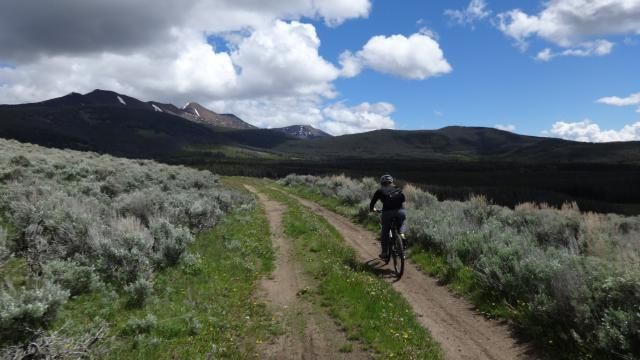
The Beaverheads.
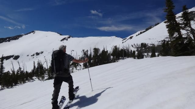
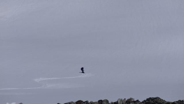
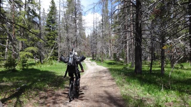
Of course, the ski trip included some biking too, and the bike trip included some snow. (James: "I like my snowboard so much I take it hiking and biking.")
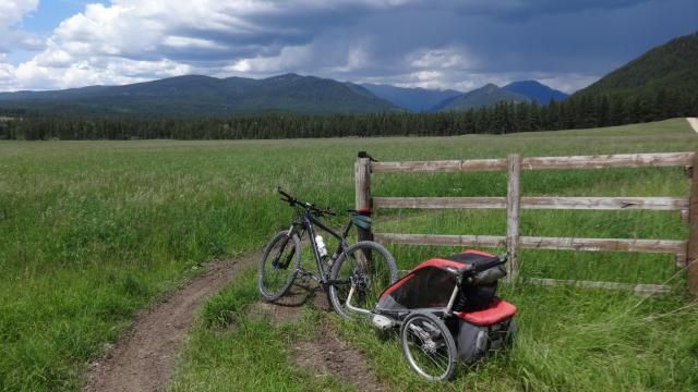
I took the baby to Ovando.
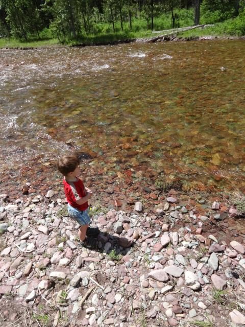
Whew -- there's rocks in these creeks too.
A week later: who knew Butte had such great biking?
Apparently everyone does now, since it was just highlighted in Bicycle Magazine.
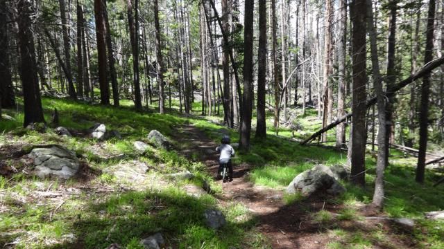
Kicking it on the Continental Divide Trail, which is not the Great Divide Trail -- except for when it is.
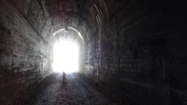
Butte has completely neglected to advertise the fact that it's home to 4.5 miles of the Old Milwaukee rail road, which is now a trail which features two tunnels and one 110-foot high trestle.
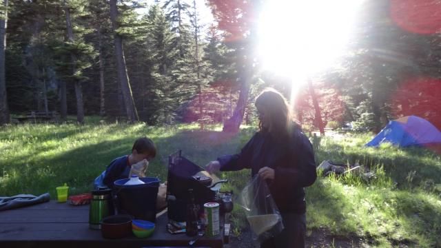
Pigeon Creek, a random free forest service campground.
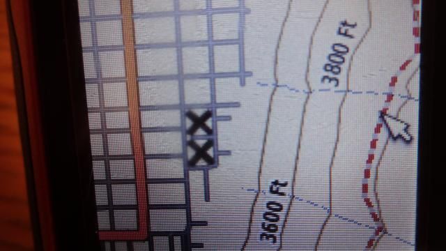
After much teeth gnashing and hair pulling I managed to upload 4G of topo maps to my Garmin eTrex 20 and a .gpx track for the Great Divide bike route. This would have been much easier had I simply opted to pay for the maps; $80 gets you three states on a micro SD card which you flip into the machine. For $12 I got my own card and lot of online sympathy from other handheld GPS users who have tried with indeterminate success to install free public domain maps on their units. After securing some additional bandwidth and detailed instructions, I think we're ready to go.

No comments:
Post a Comment